AI in action
Product innovation
Tracing our impact
Marketplace principles
Inside scoop
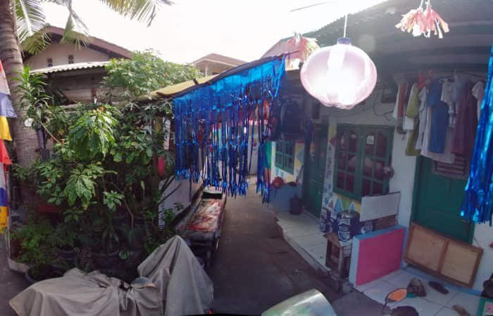
How GrabMaps knows the fastest routes in Southeast Asia
.
April 25, 2023
.
Regional
About
Consumer
Merchant
Enterprise
Quick Links